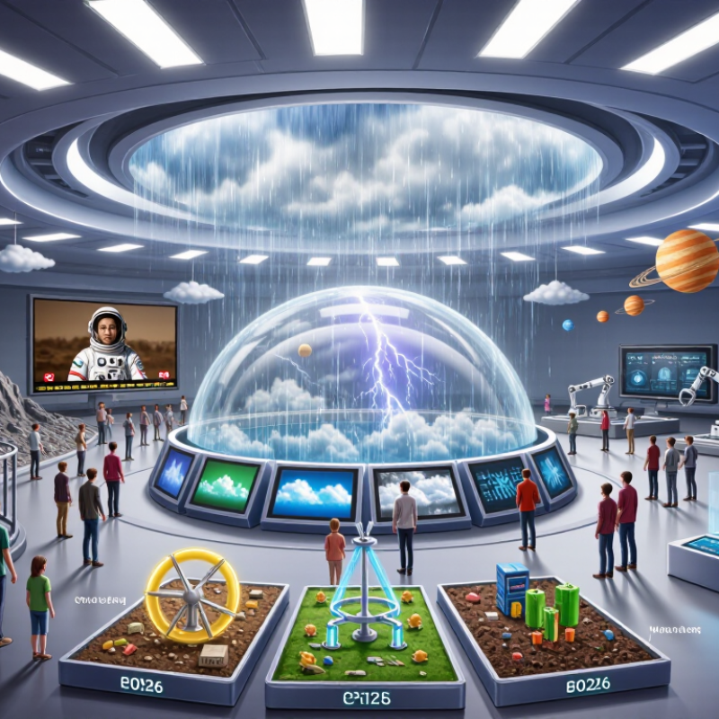
| Immersive Projection Environment | Multi-wall projection, spatial audio, motion tracking, and real-time visual content | Approximately 4–12 visitors per session | 5–15 minutes | About 20–80 m², depending on the number of projection surfaces | Space science, climate systems, ecosystems, geology, and large-scale physics | Supports group participation and seated viewing; requires careful contrast, sound-level, and pathway planning | High
Digital scenes can be replaced without rebuilding the physical enclosure | Medium–High |
| Virtual Reality Simulation | Head-mounted display, tracked controllers, spatial audio, and interactive 3D software | Usually 1 visitor per station | 3–10 minutes | About 10–40 m² for several stations plus supervision space | Human anatomy, engineering, molecular science, hazardous environments, and historical scientific sites | Requires seated or standing alternatives, adjustable text and audio, hygiene procedures, and options for visitors who experience motion discomfort | High
Software scenarios can be revised or expanded | High |
| Augmented Reality Overlay | Tablet, smartphone, or see-through display that places digital information over physical objects | 1–6 visitors per interaction area | 5–15 minutes | About 5–25 m², depending on the exhibit footprint | Fossils, specimens, machines, anatomy, archaeology, and hidden scientific processes | Provide printed or screen-based alternatives, captions, adjustable font sizes, and clear navigation for visitors who cannot use handheld devices | High
Annotations, languages, and interpretation layers can be updated digitally | Medium |
| Mixed Reality Spatial Interaction | See-through display, spatial mapping, hand tracking, and digital objects anchored to the physical environment | Usually 1–4 visitors per station | 5–12 minutes | About 10–30 m², including a safe interaction zone | Engineering systems, robotics, medical visualization, planetary surfaces, and laboratory procedures | Needs generous circulation space, clear physical boundaries, non-visual instructions, and alternative interaction methods | High
Virtual objects and instructional layers can be reconfigured | High |
| 360-Degree Dome Theatre | Dome projection, surround sound, astronomical visualization, and narrated audiovisual programs | Approximately 20–100+ visitors, based on seating capacity | 10–25 minutes | About 50–250 m², including seating, projection equipment, and circulation | Astronomy, Earth observation, atmospheric science, oceanography, and environmental change | Works well for group audiences; provide accessible seating, captions, audio description, and content warnings for intense motion or darkness | High
Programs can be exchanged while retaining the same venue | High |
| Interactive 3D Model and Touch Table | Large-format touchscreen, interactive maps, layered 3D models, and visual data interfaces | Approximately 2–8 visitors per table | 3–12 minutes | About 6–20 m² per installation | Human body systems, maps, biodiversity, energy networks, materials science, and data literacy | Can support multilingual text, captions, tactile replicas, keyboard alternatives, and adjustable interface sizes | High
Data layers and explanatory content can be revised efficiently | Medium |
| Gesture and Body-Movement Exhibit | Depth cameras, motion sensors, projection, and gesture-responsive software | Approximately 1–10 visitors | 2–8 minutes | About 12–35 m² for movement and queue space | Biomechanics, force and motion, wave behavior, ecology, and systems thinking | Include seated, low-movement, and controller-based alternatives; avoid requiring a single body position or range of motion | High
Rules, visual responses, and scientific scenarios can be modified in software | Medium–High |
| Real-Time Scientific Data Visualization | Live or frequently updated datasets, large displays, dashboards, simulation models, and interactive graphics | Approximately 2–20 visitors, depending on screen layout | 3–10 minutes | About 8–40 m² | Weather, earthquakes, biodiversity, public health, energy use, transportation, and climate indicators | Use color palettes suitable for color-vision differences, text equivalents, screen-reader-compatible controls, and clear explanations of uncertainty | Very High
Feeds, models, and explanatory layers can be updated continuously | High |
| Digital Twin and Scenario Simulator | Interactive model of a physical system with adjustable variables, simulation software, and visual feedback | Approximately 2–12 visitors | 5–20 minutes | About 15–60 m² | Urban planning, water management, renewable energy, transportation, disaster resilience, and industrial processes | Offer guided and self-directed modes, plain-language explanations, multiple input methods, and clear distinctions between measured data and model assumptions | Very High
Parameters, scenarios, and datasets can be expanded over time | High |
| Immersive Audio and Spatial Storytelling | Directional speakers, headphones, location-based audio, and synchronized visual or tactile cues | Approximately 1–30 visitors | 5–15 minutes | About 8–40 m² | Field research, animal communication, environmental monitoring, medical experiences, and scientific history | Provide transcripts, captions where visual media are used, volume controls, quiet alternatives, and hearing-loop or equivalent assistive listening support | High
Narratives, languages, and sound layers can be revised digitally | Low–Medium |

.svg)